Identifying seasonal distribution of geothermal groundwater discharge to surface water
Geothermal groundwater systems, which have a very high temperature and contrast compared to surface water, give us the potential to investigate year-round seasonality in GWSW interaction. This study will use UAV-based thermal infrared imaging, stream and groundwater discharge, and precipitation to evaluate the seasonality and spatial distribution of the ground water-surface water interaction of a small geothermal feature: LaDuke hot springs, a developed geothermal spring that discharges into the Yellowstone River about five miles northwest of Gardiner in southwest Montana.
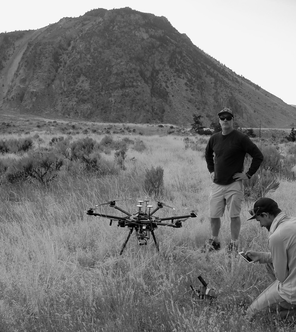
Jeremy Crowley is a hydrogeologist, data scientist, and drone pilot who has been working on natural resource issues in the public and private sector for over 20 years. He is leading the Montana Bureau of Mines and Geology drone research group, which is developing high-resolution 3D photogrammetric and light detection and ranging (Lidar) based digital elevation models and thermal maps to investigate ground water- surface water interaction and natural hazards. Currently he is conducting research into the seasonality of geothermal spring discharge, Lidar simultaneous localization and mapping and collision avoidance, and custom drone sensor integration, applications, and software development.